The National Library of Australia is currently undertaking a program of describing and digitizing their map collections.
The library holds a number of collections from cartographers, geographers, planners and other professionals, including geoscientists, that are kept together as formed collections, separate from the library’s general map collection.
The library recently digitised and described the Dr. J.H. Rattigan map collection, which consists of geological maps of the Hunter Region by G.D. Osborne. The collection has a finding aid.
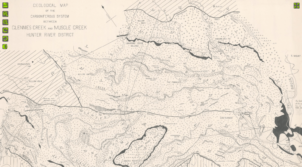
G.D. Osborne was considered one of Australia’s’ earliest pioneering structural geologists and his hand drawn maps date back to the 1900’s. You can view his collection of hand-drawn maps here.
The library would love to receive feedback and hear how people use these collections. Contact maps@nla.gov.au.