Brisbane geoscientist, Helen Coles, was recently announced as a runner-up in the Queensland Government’s Science for Solutions open data competition.
Helen works with Rio Tinto Exploration in Brisbane, specialising in GIS analysis of exploration data.
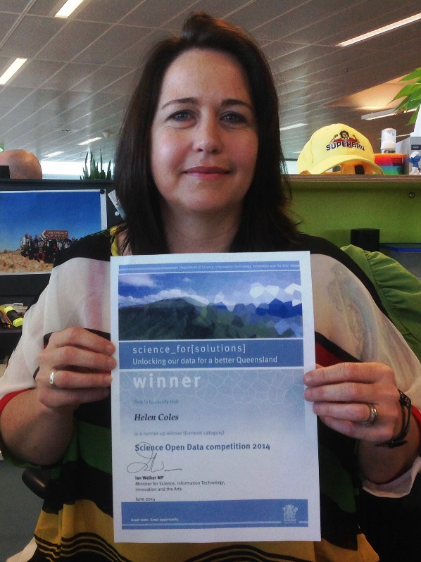
Brisbane geoscientist Helen Coles with her Open Data Competition certificate
Her award was for a smartphone app design that provides farmers and other rural landusers with access to groundwater data compiled by government agencies by mapping water bores and displaying the available data for them. This information is of real benefit to landholders, particularly in areas where coal seam gas development is occurring and management of water resources is critical to ensure existing landuse is not adversely affected by gas extraction. Helen’s app provides a visual representation of actual and proposed Coal Seam Gas (CSG) well depth in relation to water tables. It is designed to: increase stakeholders’ understanding of the interaction of wells with the water table; assist with infrastructure design and assessment; and reduce potential conflicts between different stakeholder groups.
The Science for Solutions open data competition awards were presented on Friday 11 July 2014 at The Cube, Science and Engineering Centre, Queensland University of Technology, as part of the GovHack-Brisbane event launch. The purpose of the competition was to promote the use, reuse and re-purposing of science data freely available on the Queensland Government open data portal. This initiative also encouraged the creation of data visualisations, application development and other unique treatments of the science datasets provided by the Department of Science, Information Technology, Innovation and the Arts.
The competition represents an innovative way of promoting effective use of public geoscience data by government. There are two sections to the competition: one for schools and an open competition. Other entries to receive awards included:
Congratulations to all those recognised for their entries and to the competition organisers for their contribution to promoting effective, transparent and innovative access to and use of public geoscience data.