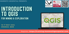
Introduction to QGIS for Mining & Exploration
Please join us for this 2 day comprehensive introduction to QGIS, the powerful desktop GIS used by millions worldwide!
The workshop
In this hands-on workshop aimed at mining & exploration professionals, we’ll cover the key features of QGIS including:
- Importing and exporting data
- Vector styling & labelling
- Working with expressions
- Georeferencing
- Creating & editing data
- QGIS plugins
- Making maps
- Drillhole traces and cross sections
- Working with raster data
- Geological mapping with satellite imagery
Who should attend?
Geologists, geoscientists, field staff, GIS professionals, exploration managers, data managers and other technical people will learn about QGIS and how they can use it in their mining & exploration workflow.
Details and Registration
16-17 May, Hotel Canobolas, 248 Summer St, Orange
Schedule: 9 am – 4:30 pm, with a break for lunch. We’ll provide morning coffees to help get you started!
What to bring: Bring a laptop with a current version of QGIS (we’ll provide more info when you register). A mouse with a scroll wheel is highly recommended.
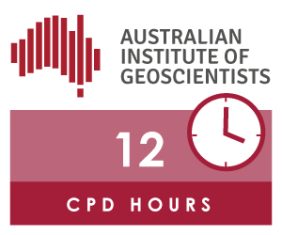
AIG members are eligible for a discounted registration and 12 CPD points.
Class size: Maximum 16 participants.
For more information, contact us at training@mammothgeospatial.com or visit the EVENT PAGE.
|