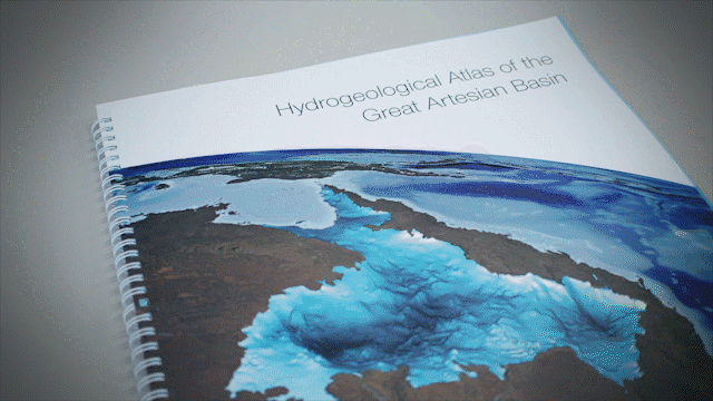
Geoscience Australia has recently released the most comprehensive mapping report on Australia’s largest groundwater basin.
The report has been developed in the form of an Atlas – providing valuable information to assist water managers and communities to make more informed decisions towards sustainable management of this vast water resource. The Hydrogeological Atlas of the Great Artesian Basin (Basin) draws together geological and hydrogeological data collected from the area and condenses it into a series of 55 maps, making the information much more accessible to water managers, researchers, industry, farmers, community groups and the general public.
Australia is the driest inhabited continent on the Earth and, per capita, is one of the largest users of water in the world. Australia draws upon a combination of surface water and groundwater for agriculture production, industry (including mining activities), and town and domestic supply. In many parts of Australia, groundwater is the only reliable water resource, and careful planning and management is critical to ensure sustainable use of this valuable water supply.
 The Great Artesian Basin covers most of Queensland, the north western parts of New South Wales, part of the Northern Territory and about half of South Australia. The Great Artesian Basin is Australia’s largest groundwater system. Comprising around 20% of Australia’s total landmass, the Basin covers most of Queensland, the north western parts of New South Wales, part of the Northern Territory and about half of South Australia. It is estimated to hold nearly 65,000 million megalitres of water, (about 130,000 Sydney Harbours) and is a key source of water for springs, many of which support unique ecosystems.
Find out more about the Atlas and its development here.